Published: 2025-05-20
Author: Curby Colvin
What is a Map?
Map Defined
There are many definitions of a map. I like the following three, from the US.Army, Natinal Geographic, and the University of Texas (Austin).
U.S. Army: According to the U.S. Army's Map Reading and Land Navigation Field Manual (FM 3-25.26), a map is a graphic representation of a portion of the earth's surface drawn to scale, as seen from above.
National Geographic: A map is a symbolic representation of selected characteristics of a place, usually drawn on a flat surface.
University of Texas (Austin): Graphic representation of the physical features (natural, artificial, or both) of a part or the whole of the Earth's surface, by means of signs and symbols or photographic imagery, at an established scale, on a specified projection, and with the means of orientation indicated.
Common Elements of All Maps
Graphic Representation: Regardless of how the map is drawn, all maps are a graphical representation of some portioin of the earth's surface. What interests me about this is that the graphical representation can be hand drawings, precise maps created with software, and everything in between.
Scale: Scale is an essential aspect of maps because it is critical to making the information on a map useful. Without scale, size and distance can be difficult to interpret.
As Seen From Above: This aspect of maps was the natural default when maps were primarily drawn by hand. Now that technology has made the creation of 3-D images easier, 3-D map products are much more prevalent.
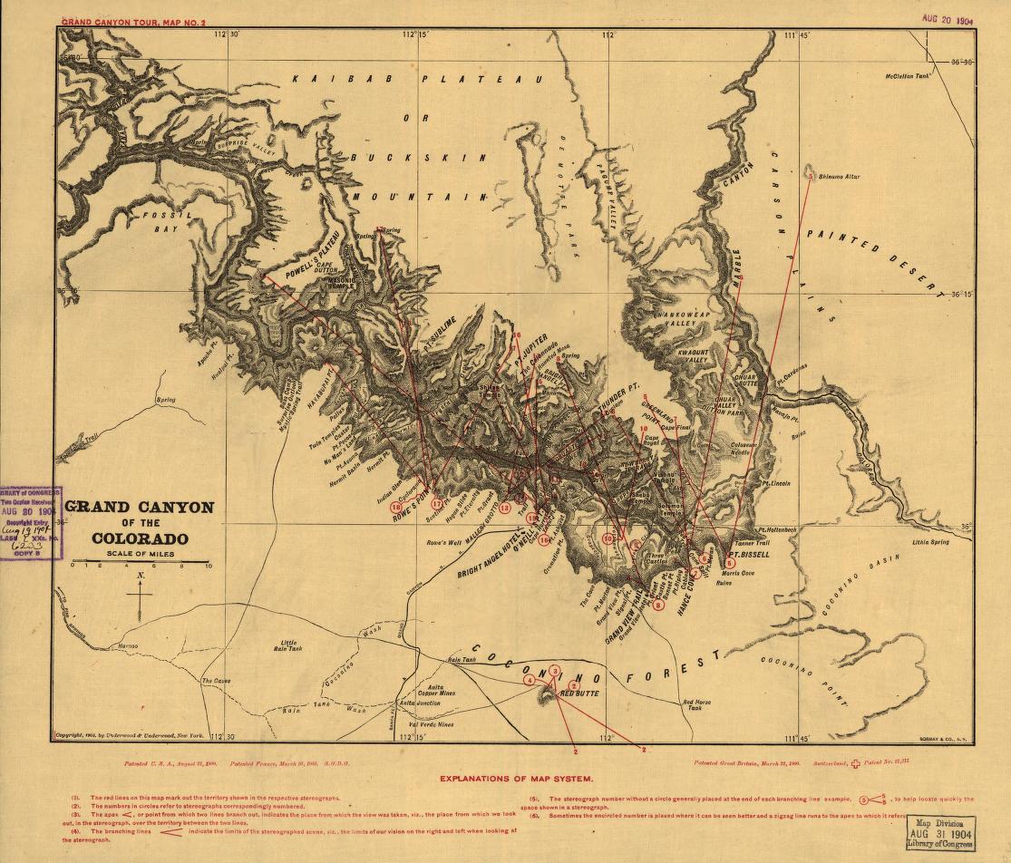
I'll close this blog with an ode to some historical mapping by the National Park Service, made available by the Library of Congress.
